
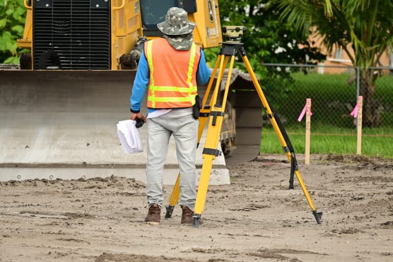
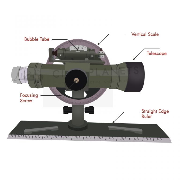
Before starting any civil engineering work, regardless of branches, horizontal, vertical, and angular measurements of the project (plan or map) is required.
Surveying is used in many branches according to the need. The following are the primary uses of surveying.
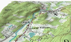
- Surveying is used to prepare Topographic maps, which represent the accurate graphic representations of features on the Earth, such as rivers, streams, lakes, woods, valleys, hills, towns, villages, forests, contours and cliffs, and depressions.
- Surveying is used to prepare Engineering maps representing the details of engineering works such as dams, buildings, railways, road work, irrigation canals, reservoirs, and transmission lines.
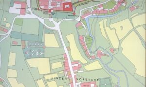
- Surveying is used to prepare Cadastral maps representing the land boundaries (property lines) and houses for legal purposes.
- Surveying is used to prepare Military maps representing the road and railway communications with different parts of a country and different strategic points essential for the defense of a country.
- Surveying is used in Urban Planning which helps to plan/locate the large-scale extensions of the existing facilities such as streets, water supply, sewer systems, and the layout of new roads.
- Surveying is used to prepare Contour Maps representing the capacity of reservoirs and the best possible transportation routes.
- Surveying prepares Hydrographic Maps, which help plan navigation routes on water bodies, water supply, and harbors or determine mean sea level.
- Surveying is used to prepare Geological Maps, which help to determine the different strata in the Earth’s crust.
- Surveying is used to prepare Archaeological Maps, which help unearth relics of antiquity.
- Surveying is used in Astronomical Survey, which helps to determine the latitudes and longitudes of any points on the Earth. It helps study planets’ movements and calculates local and standard times.
- Surveying is used in Mining which helps to explore the minerals under the Earth.
Further Reading,

1 Comment
I have liked the lesson keep up next time.